The Tibetan Plateau, also known as “The Third Pole” and “the roof of the world,” is a region that has underwent extremely complex geological histories and evolutionary processes. As such, even though the terrain is sometimes rough and the weather unforgiving, the plateau lends itself as a massive natural laboratory for studying geodynamics. On August 30, 2020, we set out on a one-month research expedition into this frozen landscape in search for fossils and rock samples that would help us unveil the many mysteries surrounding the paleogeographical evolution of the region.
Our expedition is part of the task of "Plateau Growth and Evolution" of the The Second Tibetan Plateau Scientific Expedition and Research (STEP).Our team members include scientists from
Nanjing Institute of Geology and Palaeontology,Chinese Academy of Sciences,
Nanjing University, and science journalists. With this expedition, we intend to traverse different Tethys suture zones on the plateau, examine the Permian-Triassic and Ordovician faunas of the North Qiangtang Block, South Qiangtang Block and Lhasa Block, explore their composition, and study their synergistic evolution with the paleogeographic and paleoenvironmental changes.
The expedition, originally scheduled for May,2020, was delayed by COVID-19. July and August are rainy season in north Tibet, making it difficult to implement the scientific sampling. Therefore, the scientific expedition was postponed to September. On August 30, the long-awaited scientific expedition to the uninhabited areas of north Tibet finally kicked off.
Before Departure
For many team members, this is their first time to enter Tibet. For the sake of safety, arrangements were made for those with high altitude sickness to rest and adjust their bodies at the hotel. According duties were assigned to the rest of the team members to go through procedures and purchase supplies.
Expedition members procuring supplies (Photo by WANG Jinmiao and JIANG Pengfeng)
First Stop: North Siling Lake
On September 5, our team loaded up the car and prepared to leave. We were excited because the trip to north Tibet may reveal the long-desired strata and have the long desired fossils collected; and apprehensive because what contingencies and unpredicted risks would be awaiting.
With mixed moods, we embarked on the expedition to north Tibet. Prof.
ZHANG Yichun gave a scientific introduction to the Gangdese granite and the Nyainqentanglha Group. Although they were not the object of this expedition, these special rocks, containing a good deal of geological information, are popular among scientists from various disciplines. Therefore, it was very necessary to explain them to other members and the public, so that everyone could have a preliminary knowledge and understanding of various disciplines of geology.
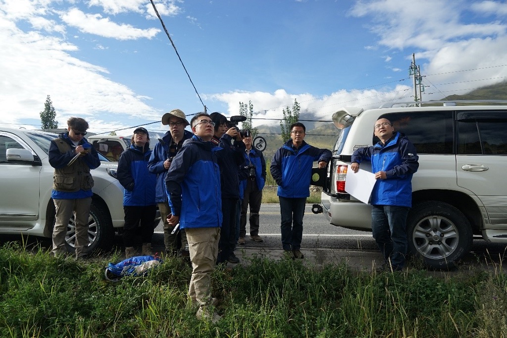
Explaining the Gangdis granite (Photo by WANG Jinmiao)
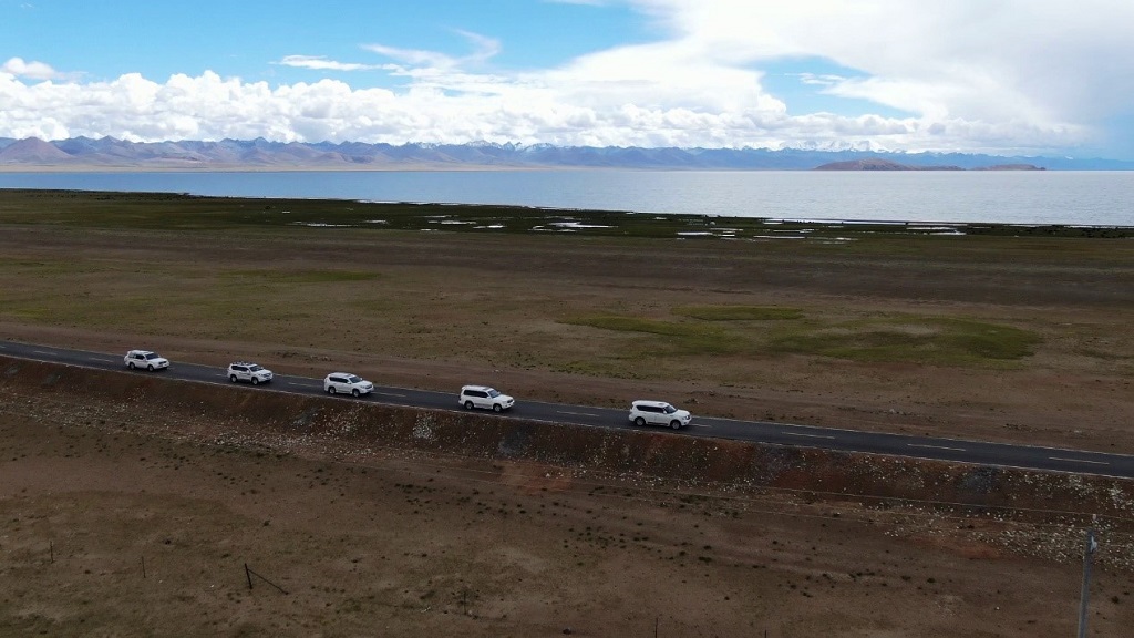
Expedtion team en route (Photo by WANG Jinmiao)
On September 6, the team had a rest in Baingoin County. Two captains, Profs.
Zhang Yichun and
Zhang Hua, as well as the chef, rushed to North Siling Lake for an on-the-spot survey, to find fossil spots and the camping places. It’s somewhat regretful that their half-day survey did not result in any good fossil spots.However, we were lucky enough as they pinpointed a water source. Though its water stock was not inexhaustible, it could satisfy water demands of the team for a few days.
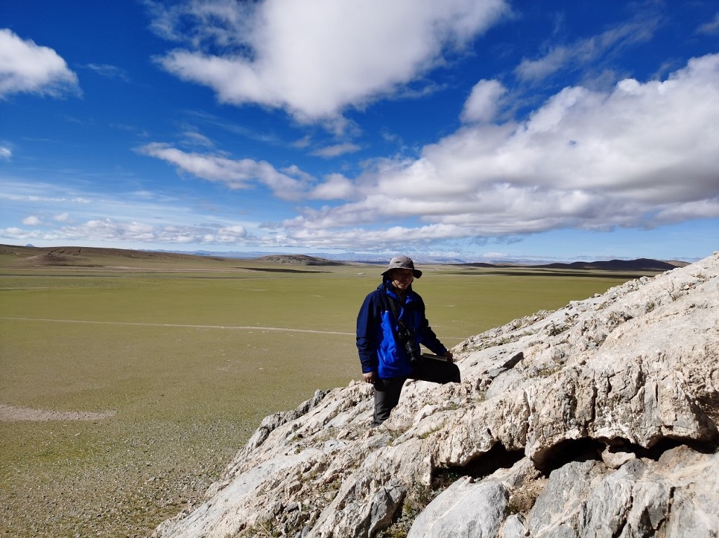
Prof. Zhang Hua surveying the section (Photo by Zhang Yichun)
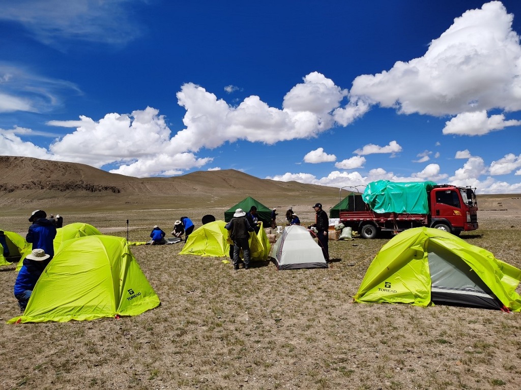
Camp No.1 in North Siling Lake (Photo by Zhang Yichun)
On September 7, the entire team departed Baingoin County for the well-surveyed camping site. At the sunny noon, after a quick lunch, the team immediately went to check the section. However, survey in the afternoon did not go well, as the limestone bodies suffered very severe recrystallization and too many calcite vein bodies. Although sparse fossils could be seen, most of them were completely beyond recognition. It took tremendous efforts to find fossils in these limestone bodies because these blocks were fetched from the trench of the Bangong Lake - Nujiang Ocean Basin more than 100 million years ago.
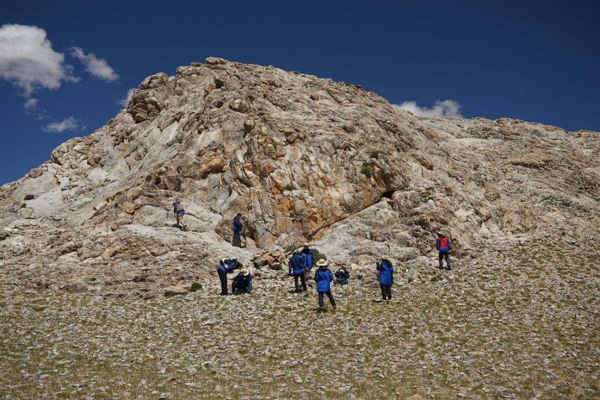
Looking for fossils (Photo by Wang Jinmiao)
The next day, our team moved to the work site south of Duoma Township in Shuanghu County. Approaching the outcrop, we felt hopeful because this block was lighter in metamorphism than the others. At the foot of the mountain, the team had already found many sponge-like reef bodies. A second seemed too long for everyone. We couldn’t wait to climb up the hill and look for fossils. Finally, after half an hour, Prof.
Zhang Yichun found the layer containing fusuline-like fossils, and the tentative field judgment held it belonged to the middle Permian period (about 265 million years ago or so). These fusuline-like fossils, though not highly differentiated, may indicate where these limestone bodies came from. Thus, they presented scientific significance that cannot be neglected. We devided our tasks and spent half a day measuring the section and collecting sediment and fossil samples in detail, and returned with fruitful results.
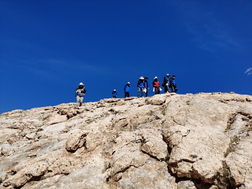
Fossils found in South Duoma Township, Shuanghu County (Photo by Wang Jinmiao)
Second Stop: the Raggyorcaka Region
After the short survey in North Siling Lake, our expedition team headed towards the toughest uninhabited areas in Raggyorcaka.
The Lungmu Co-Shuanghu Paleotethys Suture Zone is a
renowned geological spot on the road from Rongma Township to Raggyorcaka. Our team enjoyed classic geological phenomenon during the trip. When passing by the Lanling, Prof.Zhang Yichun explained in detail the research history and controversial points of the Lungmu Co-Shuanghu suture zone, and introduced the formation mechanism of blue schist on the Lanling area. Everyone showed a strong interest in these geological phenomena, and unanimously requested to go up the mountain for a close observation. So we went out of the plan to collect blue schist samples there. Learning about the formation of blue schist (Photo by Wang Jinmiao)
Walking past Jiaomuri Valley, the team came to Mount Mayer Kangri. They were shocked by the raised snow line and smaller glacier resulted from the climate changes, as compared to 11 years ago. The road to the uninhabited areas features bad conditions with many types of gravel. Bumpy all the way to the south bank of Raggyorcaka. The team set up the camp at the valley entrance.
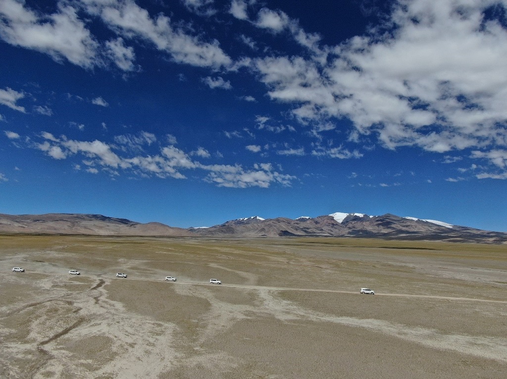
entering the uninhabited area in Qiangtang via Mount Mayer Kangri (Photo by Wang Jinmiao)
As key work area of this expedition, Raggyorcaka is known for tough working conditions. In the mid-September, the uninhabited area see huge temperature difference between day and night. After a very cold night, one may wake up in the morning trembling in coldness and discover a thin layer of ice on the sleeping bag. The inhabited areas also see massive wind and sand. Returning from wild investigation, we found the tents filled with sands and cleanup would be a must before sleep. Not daunted by these, we managed to get up and go out for sampling in time every day.
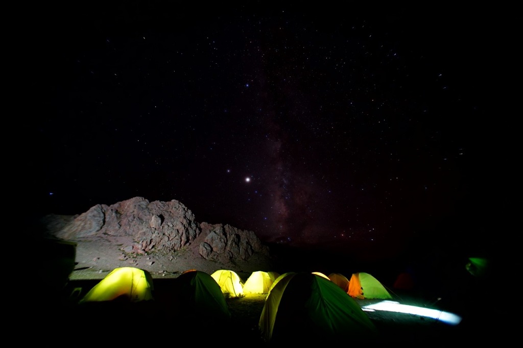
The starry sky of the uninhabited area of Raggyorcaka (Photo by Wang Jinmiao)
It’s very difficult to sample in these areas
sited near the central Qiangtang, which are generally 5000m above sea level. While Prof.ZHANG Yichun took the responsibility of looking for tiny foraminifera fossils in the strata, Professor ZHANG Hua, Associate Professor Zheng Quanfeng and PhD student Qiao Feng went to and from the mountains every day, carrying bags full of rocks; Associate Professor Luo Mao concentrated on finding fossil in the Permian and Triassic strata. Xu Haipeng, a PhD student from Nanjing University, collected an abundance of brachiopod fossils. Despite of the hard working, everyone made remarkable harvest.
During the 9-day survey here, our team launched a large-coverage survey to try to work out the strata conditions in the Raggyorcaka region. This was followed by a detailed study of the composition of the Late Permian fauna, sea level changes, flora conditions at the turn of the Permian-Triassic periods, Triassic strata and fauna in several sections in the region.
Here, the team collected an abundance of Permian foraminifera, brachiopods, bivalves and plant fossils from the strata, and straightened out the changes in the Permian-Triassic stratigraphic sequence in this region, which gives us a clue of the changes in the fauna and stratigraphic sequence of the North Qiangtang Block around 250 million years.
Through this expedition, the team obtained a preliminary understanding of the region. For one thing, the region boasts a wide distribution of the late Permian Raggyorcaka Formation, the lower part of which is a thick layer of tuff. The fossils found can basically be determined to be from about 254 million years ago, and the sea level in the region has begun to fall.The fossils that had previously been believed to belong to the Permian period were determined to be the Late Permian age. Therefore, there might be no marine strata deposited from the Middle Permian in this region.
Besides, the Devonian strata delineated in previous data were likely to be Triassic sequence and there were no Devonian strata in this region. It’s bad news for Associate Professor QIE Wenkun who came here to specially study the Devonian strata, but science bases on facts. The first-hand data and new understanding delighted us to an extent that made the oxygen deficiency and severe weather conditions unworthy of mentioning.
(To be continued...)
Editor's note: this piece is translated by TPE from the original record of the expedition team led by Profs.ZHANG Yichuan and ZHANG Hua


